

Satellite Imagery
Leverage advanced satellite imagery, GIS mapping, and remote sensing technologies to monitor environmental conditions, analyze land use, support infrastructure planning, and enable informed decision-making through accurate geospatial data.

What Is Satellite Imagery
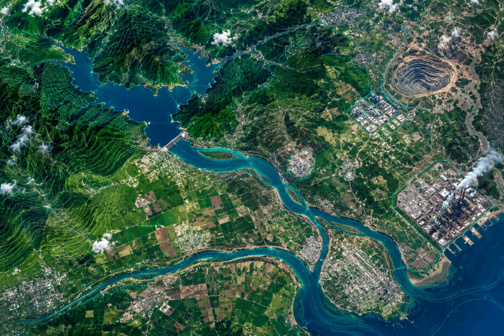
- Satellite images are more or less like maps- they provide us useful, relevant, and interesting information. The images show us the aerial view of a city, township structure, and above all- it can show the images of catastrophes- for instance storms or fire sprawled across the forests.
- The data-rich images provided by satellites are precious to many departments viz. industries, project proponents, municipal corporations, councils & different local bodies. The images not only help in carrying out individual planning but also help in taking considerable actions and thoughtful decisions.
Why You Need Satellite Imagery Services
Understanding Satellite Imagery
- Images obtained from space provide a great deal about the planet’s landforms, vegetation, and resources. Also referred to as remotely sensed images, the snaps help to obtain an accurate mapping of land cover and making landscape features understandable on regional, continental, and even global scales.
Environmental Monitoring & Change Detection
- Counterintuitive as it might appear, but the images also help in studying contaminant discharges by comparing the images acquired at different timelines.
Expert Interpretation & Geospatial Analysis
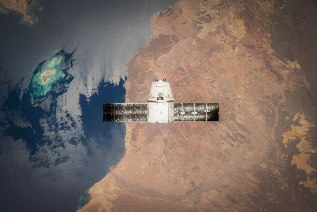
- Since the satellite collects images from hundreds of miles above the Earth’s surface, it becomes extremely difficult for a layman to understand the images, let alone decode them. For understanding rich information in a satellite image, you’ll have to hire a team, who is skilled at his/her job and has a great acumen coupled with experience in this field.
Why Choose Anacon Laboratories For Satellite Imagery
- With extensive knowledge and years of experience, our team of professionals at Anacon Laboratories undertakes the job of procuring the satellite images along with the job of interpreting the images.
- The satellite images act as a base for preparing the regional plans. It also helps the agency in identifying areas like the urban areas, green areas, marshy land, areas under the creek and interpret them accordingly. These images also help to understand the land-use patterns and have data of areas already underutilization. At a deeper level, the images also provide data related to the discharge and overflown status of contaminants releasing from the industrial sector.
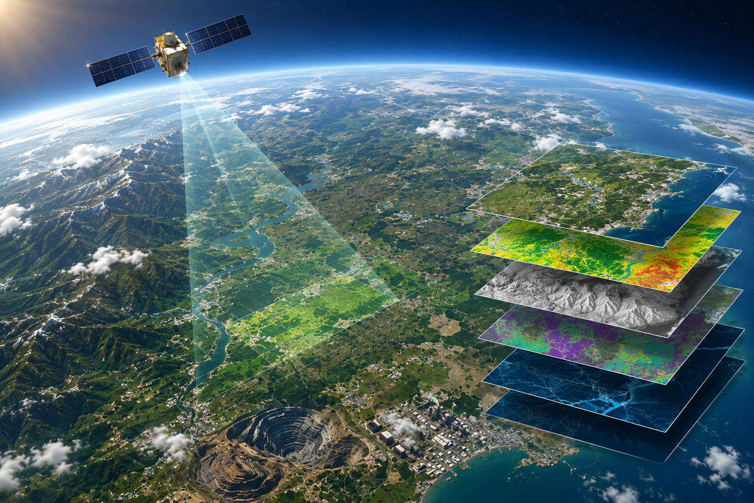
Our team helps in looking into the details by performing the following activities-
- Look for a scale
- Look for patterns, shapes & textures
- Define the colors (including shadows)
- Find north
- Consider your prior knowledge
| Sr. No. | Project Proponent | Project Details |
|---|---|---|
| 01 | Lafarge India Ltd., Sonadih, Raipur, C.G. | Study of satellite imagery to identify the route cause for dry bed situation of Seonath River. |
| 02 | Lafarge Arasmeta Captive Power Co. Pvt. Ltd., Bilaspur | Land Use / Land Cover study over 314 km² around captive power plant site for watershed development studies. |
| 03 | MECON, Bhilai, C.G. | Land Use / Land Cover study over 314 km² around Bhilai Steel Plant for expansion impact assessment. |
| 04 | Tata Steel Ltd., Jamshedpur | Land Use / Land Cover study over 314 km² around the proposed Steel Plant near Jagdalpur. |
| 05 | BALCO, Korba, C.G. | Satellite imagery study around Bodai Daldali Mines to assess mining impacts. |
| 06 | STCLI Coal Washery, Korba, C.G. | Hydrogeological framework study around the proposed 2 × 25 MW Power Plant near Dipka. |
| 07 | BALCO, Korba, C.G. | Land Use / Land Cover study around Mainpat Mines, Surguja. |
| 08 | Bhuvee Profiles & Stainless Pvt. Ltd., Kolkata | Land Use / Land Cover study over 314 km² around plant area, Dhenkanal, Odisha. |
| 09 | Rabirun Vinimay Pvt. Ltd., Kolkata | Land Use / Land Cover study over 314 km² around plant area, Angul, Odisha. |
| 10 | Patni Power Projects, Raigarh, C.G. | Land Use / Land Cover study over 314 km² around the project site. |
| 11 | Patni Power Projects, Alibaug, Maharashtra | Land Use / Land Cover study along with CRZ demarcation. |
| 12 | Vandanaa Vidhyut Ltd., Raipur, C.G. | Satellite imagery based Land Use / Land Cover study over 314 km². |
| 13 | Ispat Industries Ltd., New Delhi | Satellite imagery based Land Use / Land Cover study over 314 km². |
| 14 | Korba West Power Ltd., New Delhi | Satellite imagery based Land Use / Land Cover study over 314 km². |
| 15 | Sarda Energy & Minerals Ltd., Raipur | Satellite imagery based Land Use / Land Cover study for Integrated Steel Plant. |
| 16 | Sunil Hitech Engineers Ltd., Nagpur | Satellite imagery based Land Use / Land Cover study over 314 km². |
| 17 | Adani Group, Gurgaon | Satellite imagery based Land Use / Land Cover study over 314 km². |
| 18 | Ind-Barath Energies Ltd., Hyderabad | Satellite imagery based Land Use / Land Cover study over 314 km². |
| 19 | Jhabua Power Ltd., New Delhi | Satellite imagery based Land Use / Land Cover study over 314 km². |
| 20 | Sarda Energy & Minerals Ltd., Raipur | Satellite imagery based Land Use / Land Cover study for Coal Washery Project over 314 km². |